


OUR PORTFOLIO
Explore our recent projects and see how aerial technology delivers measurable results across construction, real estate, and environmental applications.

Oceanfront Resort Development
Complete aerial documentation of luxury resort construction from groundbreaking to completion.
Reduced survey time by 60% compared to traditional methods

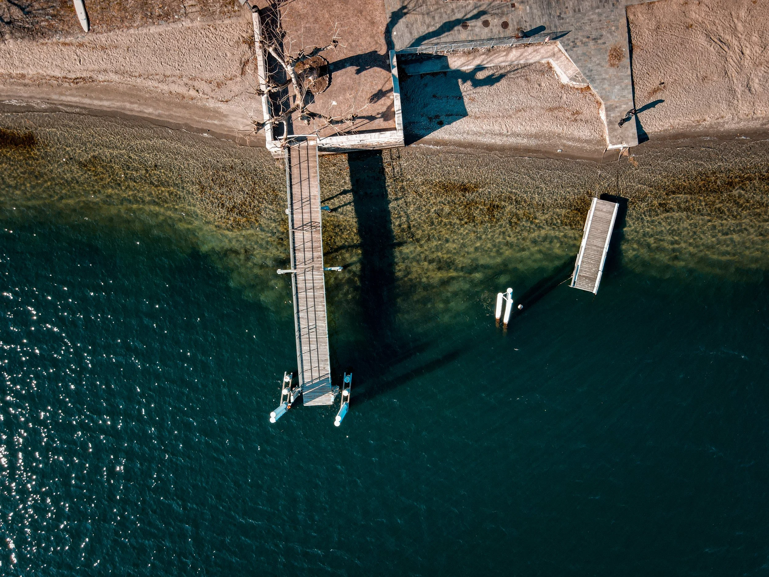
Coastal Erosion Assessment
Multi-year shoreline monitoring and erosion impact analysis for environmental planning.
Identified critical erosion zones 2 years ahead of traditional monitoring

Luxury Estate Marketing
Premium aerial photography and videography showcase for high-end waterfront property.
Property sold 40% faster than market average

Industrial Site Survey
Comprehensive topographic mapping and volumetric analysis for industrial expansion planning.
Delivered centimetre-accurate surveys in 3 days vs 2 weeks traditional

Shopping Center Progress
Monthly progress documentation and time-lapse creation for major retail development.
Helped identify construction delays 3 weeks early

Historic District Documentation
Heritage property documentation for tourism marketing and historical preservation.
Enhanced tourism marketing reach by 200%
Detailed Case Studies
Deep dives into our most impactful projects
Commercial Development Mapping
Challenge
120-acre commercial site needed accurate topographic survey for development planning within tight deadline.
Solution
Deployed high-precision mapping drones with RTK GPS for centimeter-level accuracy across entire site.
Results
Completed survey 75% faster than traditional methods, saving $50,000 in project costs.
Coastal Protection Analysis
Challenge
Municipality needed comprehensive erosion monitoring for 10-mile coastline to inform protection strategy.
Solution
Quarterly aerial surveys creating detailed change analysis and predictive erosion modeling.
Results
Identified critical areas 18 months early, enabling proactive protection measures.