


“When you change the way you look at things, the things you look at change”
ABOUT US
Homepage / About us
OUR STORY
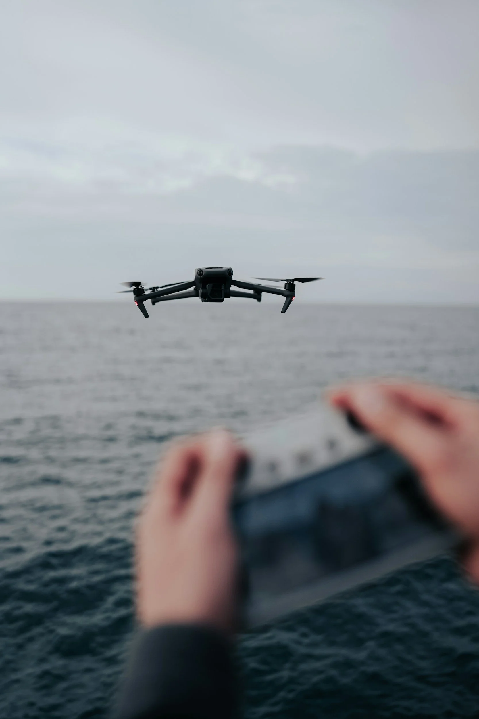
Founded out of a necessity from my own day to day job as a Project Manager for a General Contractor, TideMark Aerial Solutions was created to provide a unique perspective for jobsites. We provide aerial services and mapping solutions to real estate developers and construction firms in Charleston, SC, and the surrounding Lowcountry region. We utilize cutting-edge drone technology to deliver high-resolution imagery, orthomosaic maps, 3D models, and construction progress updates to help clients make data-driven decisions, improve efficiency, and enhance marketing efforts.
Aerial services go beyond the job site and the applications are continually expanding. We strive to collaborate with clients and explore new ways to utilize aerial data.
OUR MISSION
TideMark Aerial Solutions is dedicated to providing high-quality aerial mapping and imaging that captures new perspectives, supports smarter development, and helps shape the future of our communities.
EXPERIENCE & CREDENTIALS
Professional certifications and industry-leading equipment
FAA Part 107 Certified
Licensed commercial drone operators with full regulatory compliance
Fully Insured
Comprehensive liability coverage for all operations and equipment
Expert Team
Experienced pilots and data analysts with construction industry knowledge
OHSA 30 Certified
Construction Professionals with full PPE and jobsite awareness